Swiss drones for mapping Tanzania
With one of the highest rates of population growth in the world, this east African country has acquired dozens of minidrones produced by the Swiss company SenseFly to map its territory and respond to its demographic and climate challenges.
Zanzibar, which is almost 11,000 kilometres from Switzerland, lies below sea level. Facing the coast of Tanzania, global warming is a daily threat to the region. For several years already this small archipelago nation has been watching helplessly as water levels rise and carve out new coastlines for its islands. For Zanzibar, time is limited and local governments are not waiting for a global consensus on fighting global warming to act against its impact in their region. The country is opting for more creative solutions to document these changes with the aim of finding concrete solutions… thanks to drones.
A response to global warming
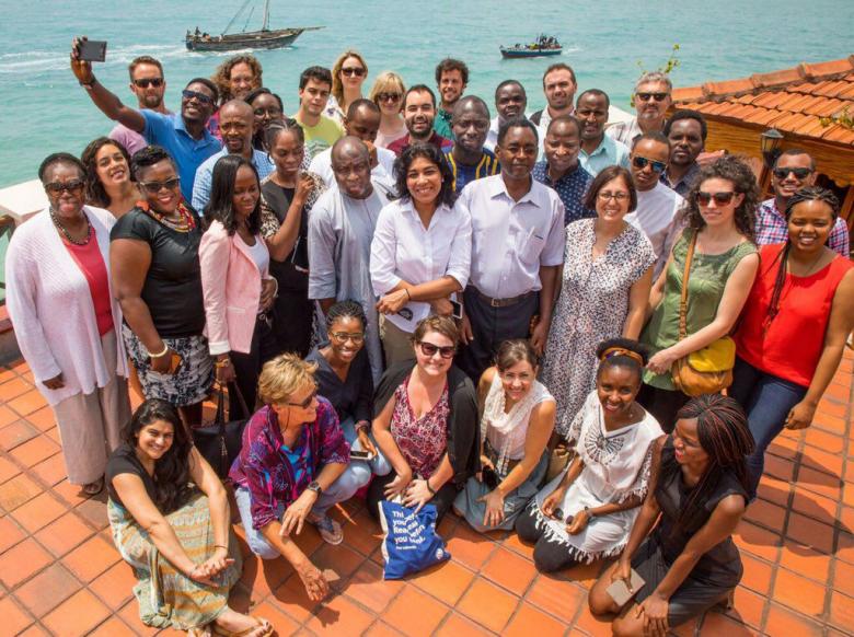
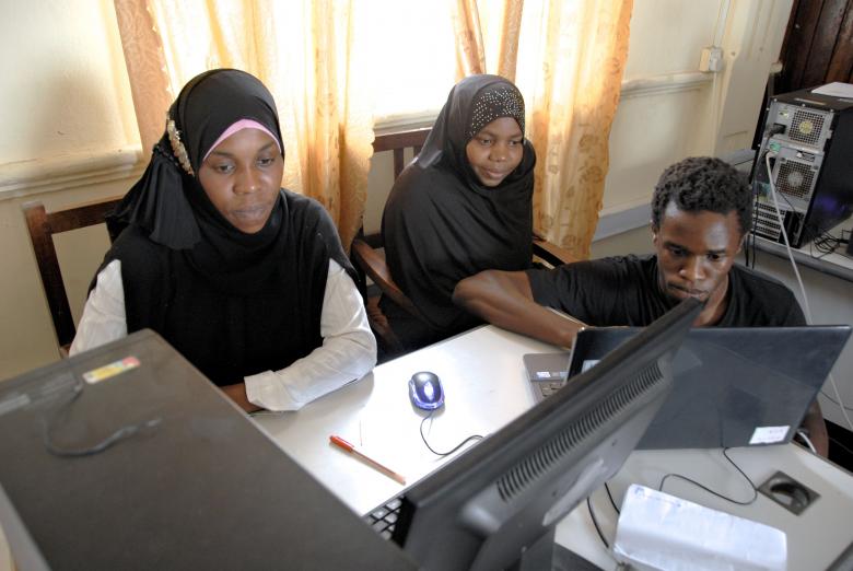
Baptised ‘Dar Ramani Huria’, a Swahili expression that can be translated as ‘The open map of Zanzibar’, the Zanzibar Mapping Initiative is the most ambitious mapping project using drones in the world. It was launched in 2016 in partnership with the World Bank, the Commission of Lands and Environment of Zanzibar and the State University of Zanzibar. Conducted by 17 spatial technology students from the State University, the project deploys drones on a small scale (85km2) for mapping small portions of territory.
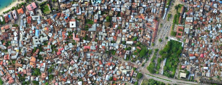
The group of students spent more than a year flying drones to capture aerial images and measure the topography of each square metre of territory. Once put together, these thousands of images will form an unprecedented high-resolution geographical map of Zanzibar. The geospatial data gathered by the drones is published online and is freely accessible in the hope that the government of Zanzibar will use it for developing its policies to counter the effects of climate change and adopt a different approach to urban planning.
Territorial planning
Mapping is not only crucially important for Zanzibar but for the whole of Africa. According to the last United Nations report, only 10% of the African continent has been mapped – compared with 90% of Europe. This lack of information makes urban planning difficult. It is also at the root of numerous land disputes, especially in Tanzania, which has one of the highest population growth rates in the world. Since the revolution in 1964, the semi-autonomous government of Zanzibar has redistributed land freely without adequate planning. The project for mapping with drones has mapped whole villages built in zones at risk of flooding that were not recorded on earlier maps.
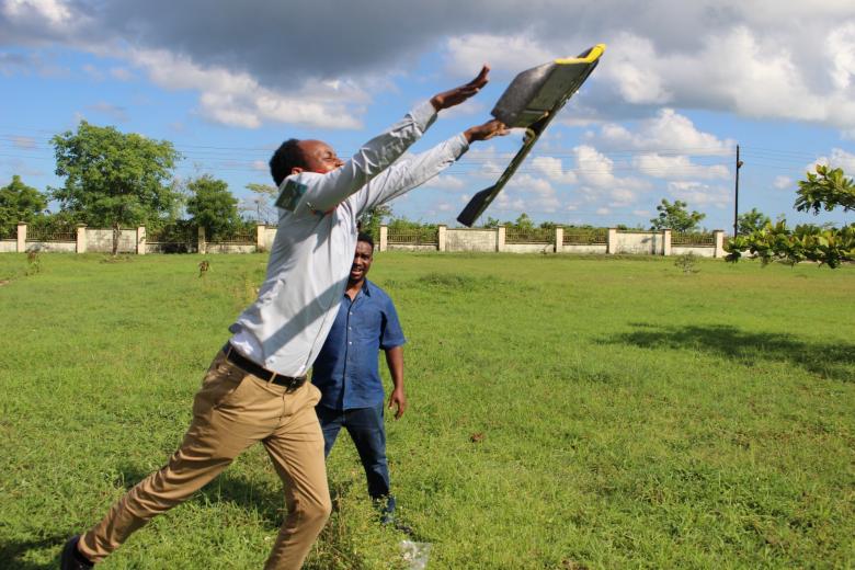
To meet this ambitious challenge, the Zanzibar Mapping Initiative has acquired a number of minidrones developed by SenseFly. The Lausanne-based company, which is part of the Parrot Group, is a pioneer in the production of drones for professional mapping SenseFly produces approxiamtely 100 drones per month at its peroduction site in Cheseaux-sur-Lausanne. The drones sell at around CHF 10,000 each and are used primarily by farmers, surveyors and in forestry. A SenseFly drone can map areas of up to 40 km2 in a single flight.
Cutting-edge mapping at lower cost
The management of natural hazards is a matter of urgency in Zanzibar, where a large part of the economy depends on marine and land ecosystems. Fishing, marine algae cultivation and tourism account for no less than 30% of the archipelago’s GDP. Furthermore, the last mapping of Zanzibar dates back to 2004. It cost the government almost USD 2 million, required the use of aircraft and, owing to the lack of resources, was not digitalised. In other words, the data collected at that time is already obsolete. Zanzibar has tried out mapping solutions developed by Google and Apple, but the grainy images these applications produced do not meet Zanzibar’s needs.
With SenseFly, the archipelago has solved this problem while keeping within budgetary constraints. Zanzibar has bought dozens of drones from this Swiss company for USD 20,000. All the drone pilots received hundreds of hours of training by SenseFly free of charge. The company also carries out the maintenance of the drones at 6–8 month intervals. Thanks to this technology, Zanzibar has cut the cost of mapping its territory by a factor of ten while improving the quality of the images and the data it collects.
Innovation serving development
Thus SenseFly once again proves that its innovations have a real impact and respond to the needs of local governments. Furthermore, minidrones can be used for many purposes. In addition to being very useful in mapping, they are very efficient in delivering post, vaccinations, drugs and food to remote or poorly connected areas, as well as to those affected by disaster. Within 30 years, 25% of the world’s population will be African. But the continent still benefits relatively little from digitalisation. With these technologies, SenseFly has thus understood the emancipating power of its drones and their capacities.
More about Switzerland and its drone ecosystem:
The Swiss drone industry spreading its wings in the events industry


